Plains Severe Risk
Severe weather will be possible today in parts of the Central and Southern Plains.
There is a Slight Risk stretching from southern Kansas into northwest Arkansas. This includes Tulsa and Broken Arrow, OK, Wichita, KS, and Fort Smith and Fayetteville, AR.
Monday, March 23 Severe Weather Outlook
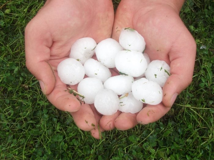
Large hail is the primary threat with severe thunderstorms in this area today.
The severe weather risk will move towards the east tomorrow into parts of western Tennessee and far north Mississippi and Alabama.
The Slight Risk area includes Nashville, Clarksville, and Jackson, TN.
Tuesday, March 24 Severe Weather Outlook
All modes of severe weather are possible in tomorrow’s Slight Risk area, including tornadoes. The greatest threat for tornadoes will be in parts of western Tennessee. This includes the greater Nashville area, which is still recovering from significant tornado damage from earlier this month.
Tuesday, March 24 Tornado Outlook
Stay tuned to Twitter for the latest updates!


What People Are Saying...
Twitter Mentions
Reddit
Jetpack Comments
Comments are closed here.