Central U.S. Severe Threat
Severe weather will be possible today across parts of the nation’s midsection.
An Enhanced Risk is in place for parts of Kansas, Missouri, Nebraska, and extreme southwestern Iowa. This includes Kansas City, Topeka, and Lawrence, KS and St. Joseph, MO.
Tuesday, June 25 Severe Weather Outlook
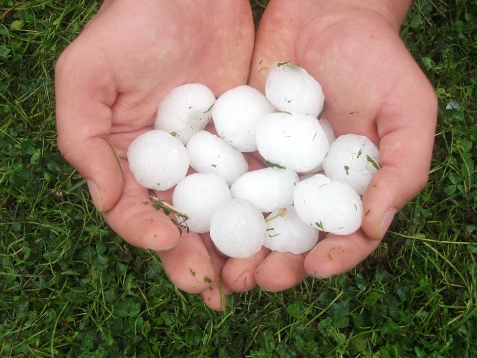
The primary threats in today’s Enhanced risk area are large hail and isolated tornadoes. Scattered damaging wind gusts will also be possible.
Tuesday, June 25 Tornado Outlook
Follow us on Twitter for updates!
What People Are Saying...
Twitter Mentions
Reddit
Jetpack Comments
Comments are closed here.