Moderate Risk for Severe Storms
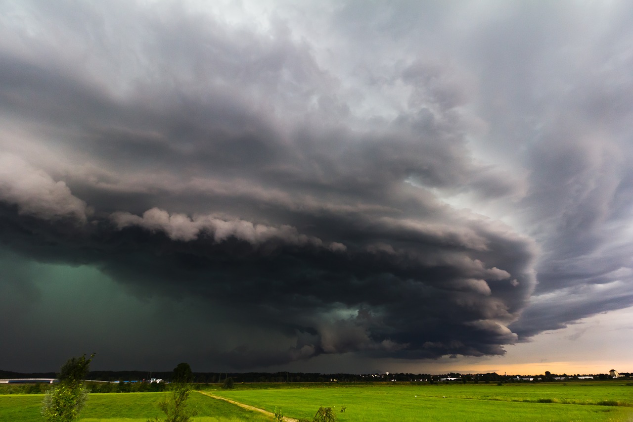
The SPC has issued a moderate risk for severe weather today across parts of the nation’s midsection.
This includes Kansas City and St. Joseph, MO, and Overland Park, Kansas City and Topeka, KS. The risk area also extends into far southern Iowa, including Burlington, and into parts of extreme western Illinois, including Quincy.
Tuesday, May 28 Moderate Risk
All modes of severe weather will be possible: large hail, damaging wind gusts, and tornadoes. The threat for tornadoes is highest in the moderate risk area. A few intense tornadoes are possible.
Tuesday, May 28 Tornado Outlook
There is also a second area of focus for severe weather today across parts of the Northeast. An Enhanced risk area includes Philadelphia and Pittsburgh, PA.
Tuesday, May 28 Severe Weather Outlook
Large hail and damaging winds will be the primary threats with storms in this area, but an isolated tornado cannot be ruled out.
Follow us on Twitter for updates and watch chaser live streams here!
What People Are Saying...
Twitter Mentions
Reddit
Jetpack Comments
Comments are closed here.