Upper Midwest Severe Threat
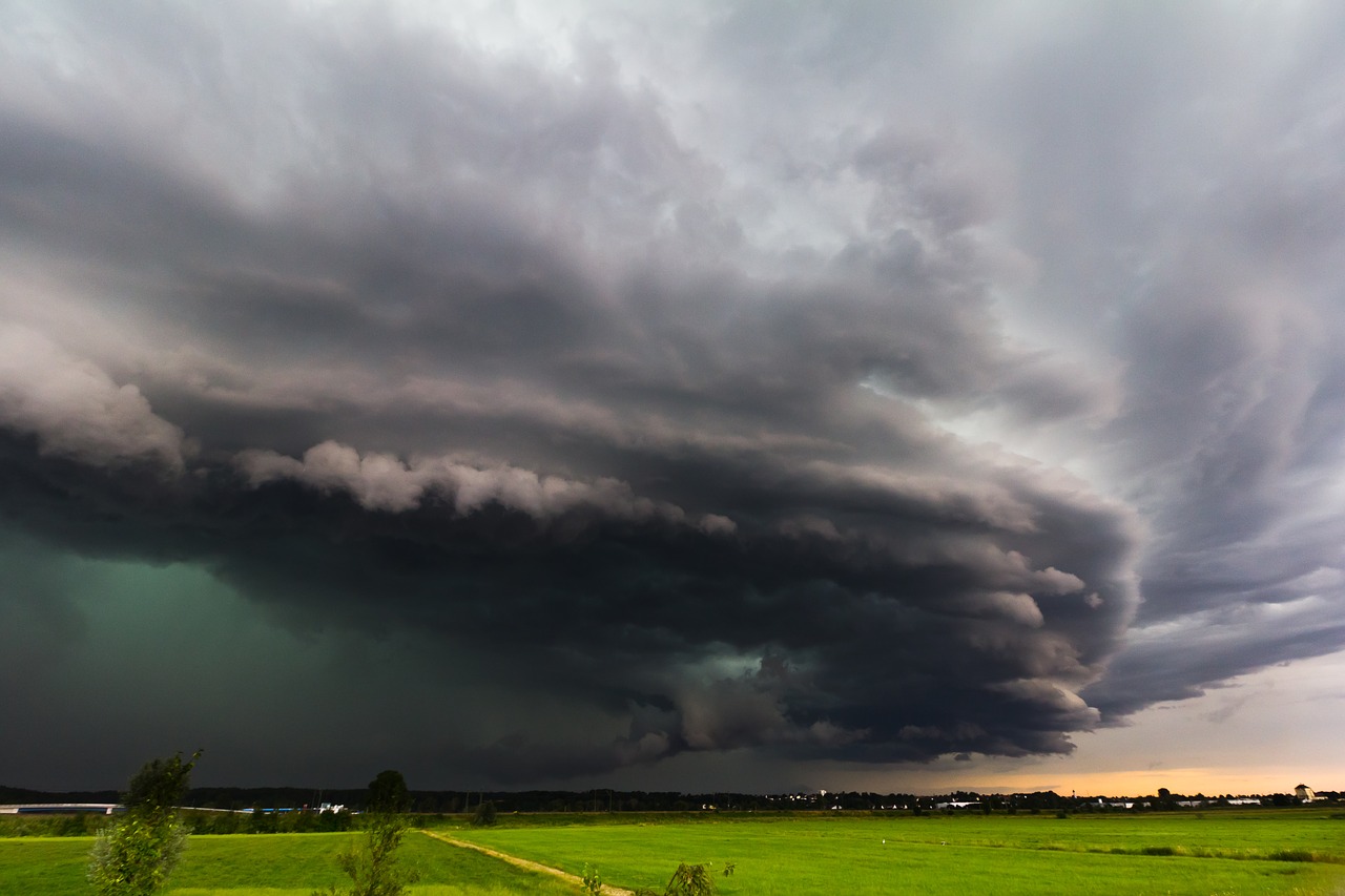
Severe weather will be possible across parts of the Upper Midwest today as a potent cold front moves through the region.
There is an Enhanced Risk stretching from extreme eastern Nebraska and far southwestern Iowa, through southeastern Minnesota and into western Wisconsin. This includes Omaha, NE, Rochester, MN, Eau Claire, WI, Council Bluffs and Ames, IA.
Severe Weather Outlook Tuesday, September 24
Thunderstorms are expected to develop late this afternoon and evening. The primary threat from today’s storms will be the potential for very large hail and isolated tornadoes.
Hail Outlook Tuesday, September 24
Tornado Outlook Tuesday, September 24
Pay close attention to weather watches and warnings later today if you live or near these areas.
Follow us on Twitter for the latest!
What People Are Saying...
Twitter Mentions
Reddit
Jetpack Comments